- English
- Nederlands
Languages:
This site is created using Wikimapia data. Wikimapia is an open-content collaborative map project contributed by volunteers around the world. It contains information about 32630780 places and counting.
Learn more about Wikimapia and cityguides.
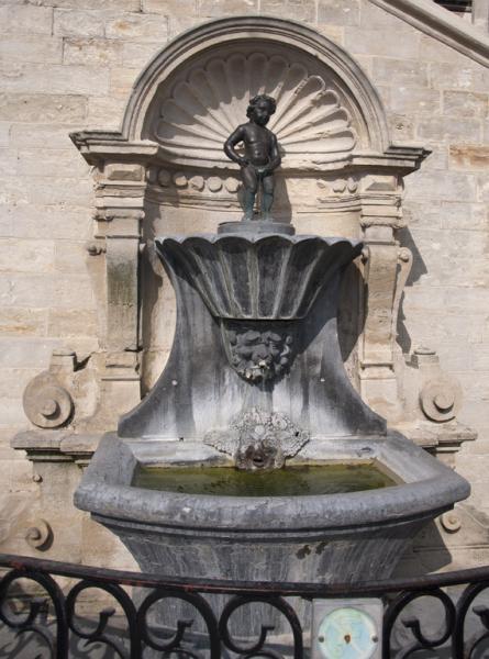
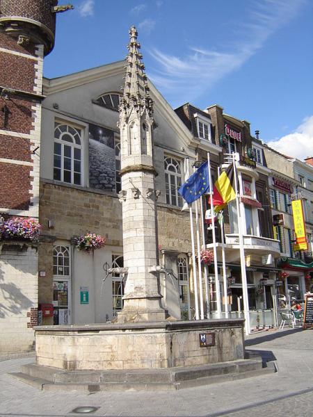
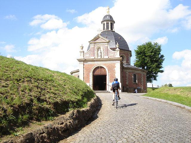
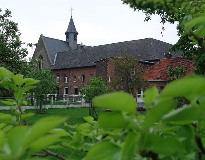
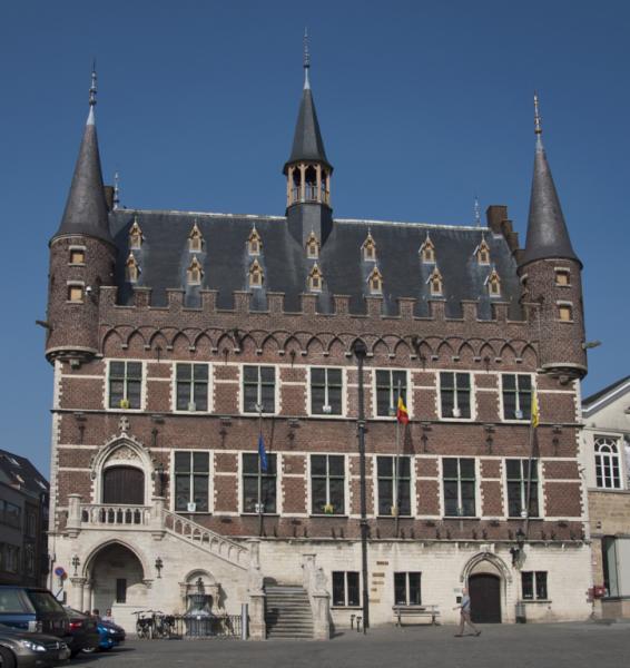
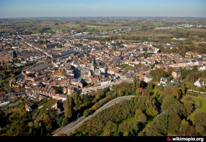
Geraardsbergen
Geraardsbergen (Dutch pronunciation: [ˈɣeːraːrdzbɛrɣə(n)], French: Grammont) is a city and municipality located in the Denderstreek and in the Flemish Ardennes, the hilly southern part of the Belgian province of East Flanders. The municipality comprises the city of Geraardsbergen proper and the following towns:
Goeferdinge, Grimminge, Idegem, Moerbeke (Geraardsbergen) (nl), Nederboelare, Nieuwenhove, Onkerzele, Ophasselt, Overboelare, Schendelbeke, Smeerebbe-Vloerzegem, Viane, Belgium (nl), Waarbeke, Zandbergen and Zarlardinge.
On January 1, 2006 Geraardsbergen had a total population of 31,380. The total area is 79.71 km² which gives a population density of 394 inhabitants per km².
Wikipedia article: http://en.wikipedia.org/wiki/Geraardsbergen
Geraardsbergen on the map.